21-08-2026 00:03
via fstoppers.com
How Weather Satellites Photograph a Hurricane: Inside the Cameras That Watch Storms Form
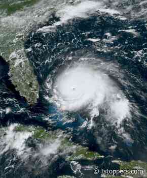
When a hurricane spins up over the Atlantic, the most frequent, most continuous pictures of it come from a camera parked 22,236 miles above the equator. That camera is the Advanced Baseline Imager, the primary instrument on NOAA's GOES-R series of weather satellites, and it works nothing like the one in your bag. It never racks focus, it has no shutter in the conventional sense, and what it delivers is not really a photograph. It is a stack of measurements that gets rebuilt into an image on the
Read more »
Photography news