07-05-2024 12:54
via fmj.co.uk
Airedale General Hospital manages RAAC risk with geospatial system from Esri UK
Innovative use of digital mapping helps hospital remain safe
Makes process of inspecting 20,000 concrete planks 50% more efficient
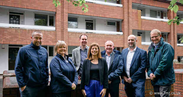
Airedale General Hospital has gone live with a new geospatial system to help manage its RAAC (reinforced autoclaved aerated concrete) monitoring and repairs programme. Using GIS (Geographic Information System) software from Esri UK, the system replaces paper-based processes with digital workflows to improve the accuracy and efficiency of RAAC inspections.
The softwa
Read more »
Makes process of inspecting 20,000 concrete planks 50% more efficient
Airedale General Hospital has gone live with a new geospatial system to help manage its RAAC (reinforced autoclaved aerated concrete) monitoring and repairs programme. Using GIS (Geographic Information System) software from Esri UK, the system replaces paper-based processes with digital workflows to improve the accuracy and efficiency of RAAC inspections.
The softwa
Cleaning Industry news